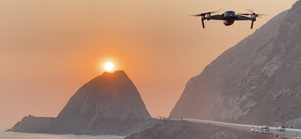
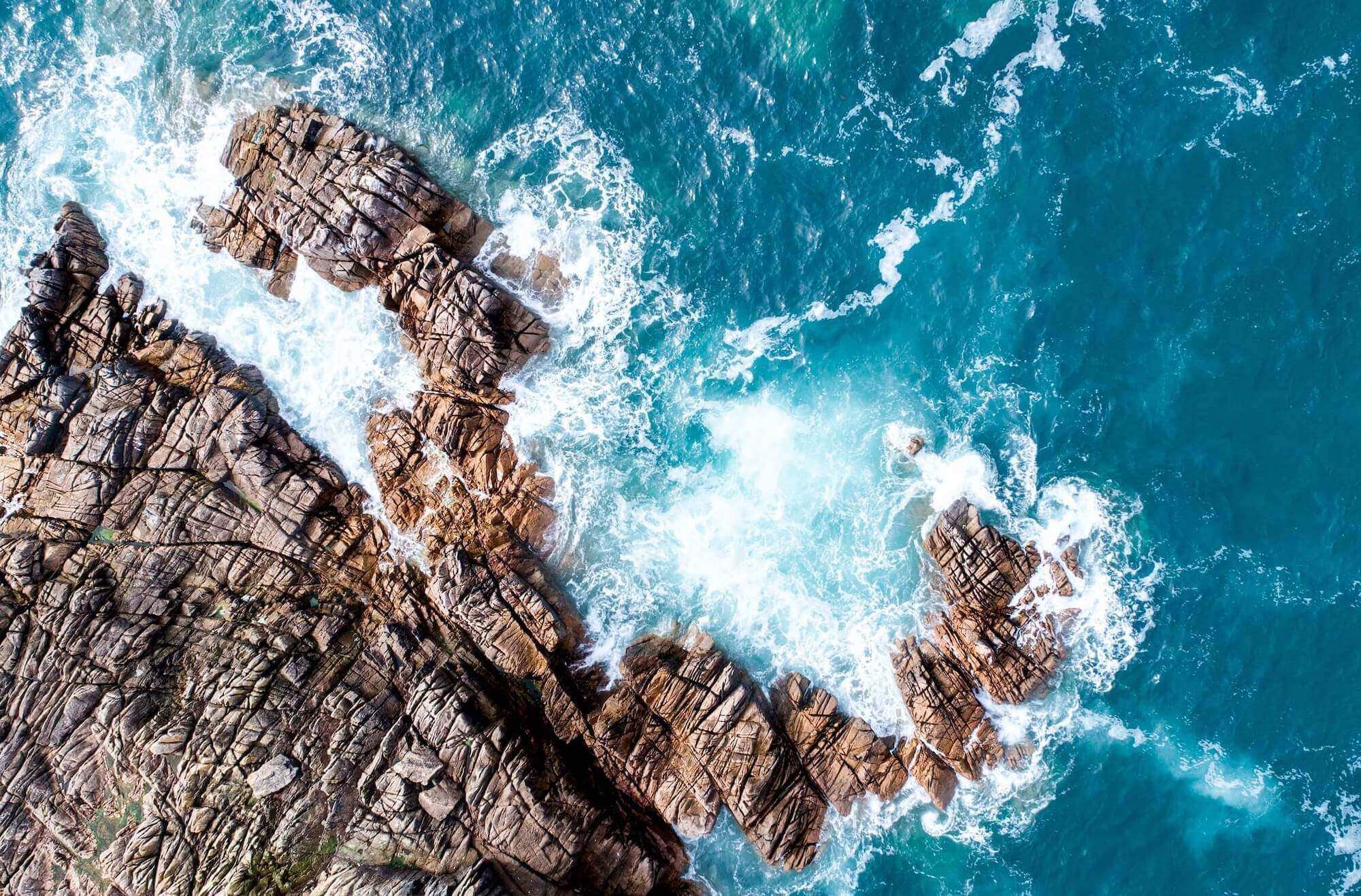
At SeaFly Solutions, we use drone technology to turn complex environments into clear, useful data. From coastal landscapes and natural habitats to developed properties and hard-to-reach terrain, our aerial surveying services provide detailed perspectives that can help you plan, monitor, and better understand your project. Whether you need high-resolution imagery, mapping, or environmental monitoring, we combine modern UAS technology with hands-on field experience to deliver reliable information tailored to your needs. Feel free to explore our website and learn more about what we do!