
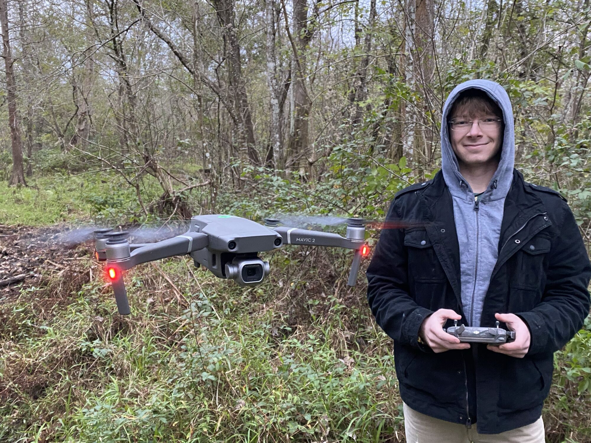
SeaFly Solutions provides flexible drone surveying and aerial data services for businesses, researchers, land managers, and environmental organizations. By combining UAS technology with experience in environmental science, GIS, and field research, we can collect and process high-quality aerial data for a wide range of applications. Whether you need to document a site, track changes over time, create detailed maps, or gain a new perspective on a project, our services can be tailored to meet your specific needs.
Monitoring & Change Detection
Repeated drone surveys provide an efficient way to monitor changes across landscapes and project sites over time. SeaFly Solutions can establish repeatable survey methods to document changes in vegetation, coastlines, beaches, restoration sites, construction areas, and other environments. Comparing imagery and survey products collected at different times can help identify trends, measure changes, and evaluate the progress or effectiveness of ongoing projects.
Mapping & Surveying
Drone-based mapping can provide detailed spatial information across areas that may be difficult, time-consuming, or expensive to survey from the ground. SeaFly Solutions can collect aerial imagery for photogrammetric mapping and generate products such as orthomosaics, elevation models, and three-dimensional representations of surveyed areas. These products can support planning, documentation, environmental assessments, and other spatial analysis needs.
Imagery Processing & Data Products
Collecting aerial imagery is only the first step. SeaFly Solutions can process raw drone imagery into organized, usable data products that provide greater value than individual photographs alone. Depending on project needs, deliverables can include orthomosaic imagery, 3D models, elevation data, and other processed datasets suitable for visualization or further GIS analysis.
Aerial Photography & Visual Documentation
High-quality aerial photography provides a unique perspective for documenting properties, landscapes, projects, and environmental conditions. SeaFly Solutions can capture both qualitative and professional aerial imagery for site documentation, project communications, promotional materials, environmental records, and other applications where a clear view from above can provide valuable context.
Environmental & Habitat Surveys
Drone technology can provide an efficient, non-invasive way to document natural environments and monitor ecological conditions. SeaFly Solutions can support projects involving coastal areas, wetlands, beaches, vegetation, restoration sites, and other habitats by collecting aerial imagery and spatial data for environmental assessment and monitoring.
Coastal & Beach Surveys
Coastal environments are dynamic and can change substantially over relatively short periods of time. Repeat drone surveys can be used to document beach morphology, dune systems, shorelines, vegetation, and other coastal features. These surveys can provide a detailed record of environmental change and support research, restoration, management, and planning efforts.
Site Documentation & Inspections
Aerial surveys can provide a comprehensive view of properties and project sites while reducing the need for extensive ground-based documentation. Drone imagery can be used to document existing conditions, track project progress, inspect difficult-to-access areas, and create a visual record that can be revisited as needed.
Custom Drone Solutions
Not every project fits neatly into a predefined service. SeaFly Solutions can work with clients to develop customized drone-based approaches for unique surveying, research, monitoring, and documentation needs. If you have a project that could benefit from aerial data but aren’t sure what approach would work best, we can help determine an appropriate workflow from data collection through final products.
